Information:
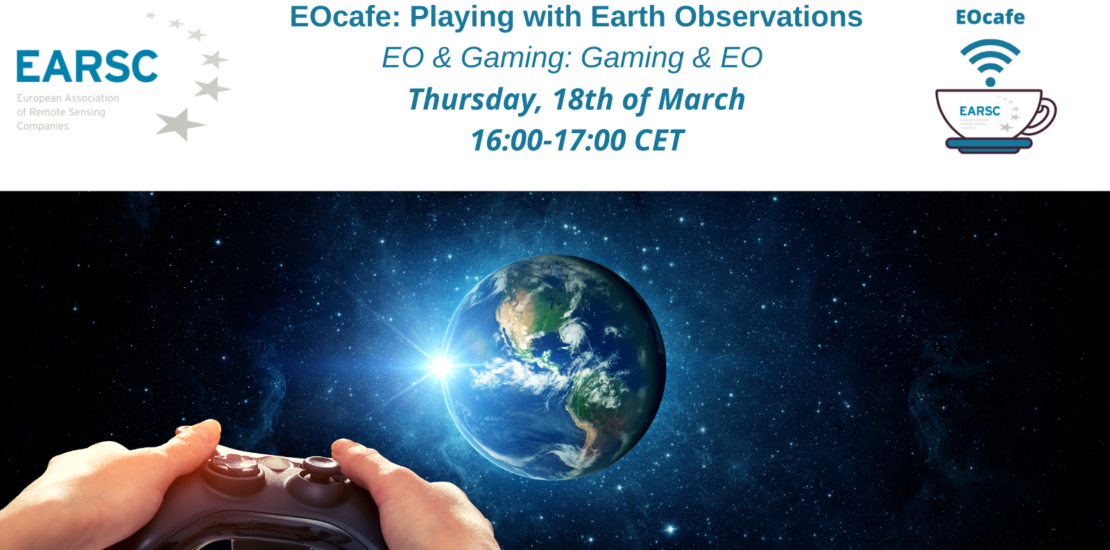
Playing games is an extremely old pastime but digital gaming – which is what is generally understood by the term – is new. Whilst gaming is big business, the imaginary world of games may not seem the obvious place to take real images of the Earth. But for a few companies, it is and there is some very interesting business going on to bring these two worlds together.
In the EOcafe, we shall meet three companies that are seeking to combine the two technologies in novel ways. Each is taking a very different approach as we shall discuss. The first and most obvious (perhaps) way is to use Earth Observation (EO) images as a backdrop for the game. This is the case with the Microsoft Flight Simulator which is (I understand) now using Sentinel-2 data to provide the terrain over which the aircraft is flying. None of our three companies has this as their business model!
Another approach is to use gaming tools to support data gathering. One popular example of this is the globally popular PokemonGo which is offering in-game incentives for users to open their cameras to the developers with which they can build 3D models of real locations. The business model is primarily based on advertising linked to the location. No EO is involved in this example but other companies are taking more modest steps to collect data linked to agriculture, cultural heritage and other applications where local data enhances the results.
Our three guests will discuss their differing approaches.
World.Game comes from the world of gaming and is working on impact games that turn scientific and societal problems into mobile apps. Through gaming, crowdsource solutions aim to engage large communities, analyze massive, unstructured data, or optimise simulated systems to improve them in real life. They have developed a few EO games in order to crowdsource the analysis, annotation and generation of EO data.
GISAT which is an EO services company has been working with partners, IIASA and Spatial Focus, on crowdsourced in-situ collection support of EO processing including gaming elements. Players are given incentives to annotate EO images or photos of specific sites and to send this information to the application. This allows developers, researchers or clients to gather the latest information on a site. This technique is being used by the International Institute for Applied Systems and Analysis (IIASA) in several crowdsourcing applications as a source of in-situ data supporting research and operational projects.
Our third company is BlackShore with its crowdsourcing platform Cerberus. Here, the brainpower of 62000 gamers is used to interpret EO images and turn these into maps or training data with the focus on unmapped or crisis regions. The game, while educating the players immerses them in real-world situations and rewards them for doing good work. The generated maps and data are used by various clients ranging from disaster relief, sustainable agriculture and environmental protection for example.
In the EOcafe, we will take a look at these different ideas and discuss how far the boundary between EO and gaming can be pushed. More specific:
- In what ways can EO data be used for the gaming market?
- Who can be the customers of these games?
- How can the take up of EO data be encouraged in the gaming market?
- What cases might be considered suitable for a gaming application?
- Is it about EO for gaming or gaming with EO?
Our host Geoff SAWYER, EARSC’s Strategic Advisor and former Secretary General will exchange with three special guests:
- Hugo HERNANDEZ, Co-founder and CTO, World Game
- Hans VAN’T WOUD, CEO and founder, BlackShore
- Tomas SOUKUP, Project manager, GISAT
Registration: This webinar is open to ALL but priority will be given to EARSC members. Registration is free but compulsory. Please click on the following link to register.
