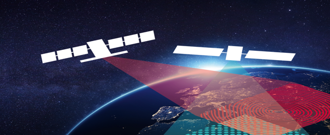
The digitalisation of our world is currently on everyone’s lips and keeping companies, politicians and all of us on our toes. Earth observation and navigation with the European systems “Copernicus” and “Galileo” have long been pioneers of digitalisation and can today be considered as models for many sectors and technologies.
Date/Time:
From:
to: 09 May 2019
08
May
2019
to: 09 May 2019
Location:
Technische Hochschule Georg Agricola, Bochum, Germany
Website:
Go to Website.
Information:
Earth observation data from space generated during the widest variety of missions in combination with complementary in situ data from local and regional sensors or sensor networks and other geodata offer an enormous range of potential uses. Intelligent combinations and innovative methods facilitate the development of completely new applications. Through cross-cutting technologies in the field of IT, such as big data, cloud computing and digitalisation, in geoinformation technology and in the requisite communication technologies, gigantic volumes of data are becoming increasingly accessible for commercial products, processes and services.
The canon of earth observation/Copernicus, digitalisation/in situ data, communication technologies and satellite positioning/Galileo is thus becoming a tremendous challenge for the development of application-oriented solutions.