Information:
The GEOBIA Summer School 2020 is organized by University of Salzburg, Department of Geoinformatics (Z_GIS) – UNIGIS, CopHub.AC and is supported by ESA. The Summer School will be held online.
With its primary goal to map, analyse, and monitor the dynamics of our globe, Earth observation (EO) applies a spatial lens and ‘images’ reality, by which quantifiable indicators and other objective information is provided for improved decision-making and status reporting.
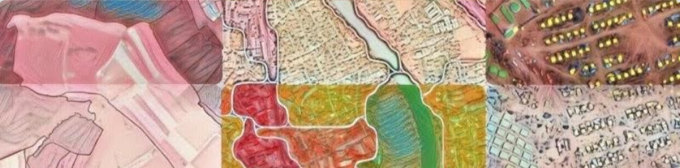
Over the last two decades, object-based image analysis (OBIA) has become a key methodological enabler for various EO applications to analyse spatial phenomena on object level with an underlying conceptual model close to how we perceive and organise our world and its current challenges. For operational mapping tasks in the Copernicus service domain, OBIA evolved as a strategic methodological asset, which – in combination with other recent advances, e.g. in machine learning and CNN – has found its way in tender specifications. We are at the verge of hybrid solutions integrating knowledge-based and learning-based approaches.
Embedded in the GEOBIA 2020 event during the Salzburg GI Week the Summer School is organised within the public outreach and education activities of the CopHub.AC project aiming to sustain the Copernicus Academy as a knowledge and innovation platform. Additionally, the Summer School will consider key outcomes from the Erasmus+ Skills Alliance project EO4GEO with respect to new challenges in GI*EO education in due response to the disruptive changes occurring in the sector.
This Summer School will provide an overview on Copernicus, its data and services and a profound introduction and training in object-based image analysis (OBIA) with different software. Thematically it will cover two out of the three Copernicus-relevant topics: Land monitoring, Emergency response including Humanitarian action, and Climate change. During the application, a preference can be given which will be addressed by designing the programme. Thus it will specifically encourage participants from academia, industry, and public authorities at the interface between methodological development, service specification and provision of solutions.
Lectures by distinguished scholars and researchers are complemented by interactive hands-on and lab sessions, group work and a field trip that give students the opportunity to prepare for international work, obtain qualifications and experiences in Earth observation and remote sensing, and build strong inter-personal and team skills. Results of working groups will be presented in a special session at the GEOBIA Special track of the GI_Forum 2020.