Information:
The talk will happen online – link to the webinar will be provided via e-mails to registered attendees: first e-mail will be sent two days before the event and the second one just 2 hours before the event. Do not register too late!
Agenda (UK time)
18:30-19:20 Putting the EO into gEOlogical applications
19:20-19:40 Q&A and Announcements
Speaker
Charlotte Bishop, Kongsberg Satellite Services (KSAT)
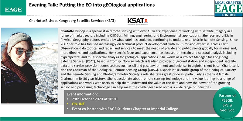
Charlotte Bishop is a specialist in remote sensing with over 15 years’ experience of working with satellite imagery in a range of market sectors including Oil&Gas, Mining, engineering and Environmental applications. She received a BSc in Physical Geography before, excited by what satellites could do, continuing to undertake an MSc in Remote Sensing. Since 2007 her role has focused increasingly on technical product development with multi-mission expertise across Earth Observation data (optical and radar) and services to meet the needs of private and public clients globally for marine and, more directly, land applications. Her specific focus and experience has focused on terrain and spectral analysis including hyperspectral and multispectral analysis for geological applications. She works as a Project Manager for Kongsberg Satellite Services (KSAT), based in Tromsø, Norway, which is leading provider of ground station and independent satellite data and service provision across sectors such as oil and gas, environment and defense to a global client base. Charlotte is also the Chairman of the Geological Remote Sensing Group (GRSG), a specialist scientific group of the Geological Society and the Remote Sensing and Photogrammetry Society a role she takes great pride in, particularly as the first female Chairman in its 30 year history. She is passionate about remote sensing technology and the value it brings to a range of applications and works with users to help them understand the value of the data and how the power of the growing sensor and processing technology can help meet the challenges faced across a wide range of industries.
Abstract
EO (Earth Observation) technology has been used in support of geological applications since the launch of the Landsat-1 satellite in 1972. It brought with it the chance to safely observe and map remote areas whilst also providing insight and context to better prepare for more detailed survey and field work, thereby improving decision making and de-risking further activities.
Since the 1970s the technology has increased dramatically and since 2000 even more so from regional mapping to detailed fracture mapping at 1:2500 scale, EO or satellite technology provides an insight and perspective that is fully complementary to the necessary follow up work at any stage of pre-FEED/FEED, upstream/downstream oil and gas or reconnaissance and prospecting in mining. Different satellites can bring value to different parts of a project lifecyle and this presentation will explore the capabilities of EO technology in support of geological applications, where we have come from and where it is going whilst also discussing how, using case examples, satellite imagery can play a key, cost efficient, role at whatever stage of the lifecycle your interest lies.
EO is only one part of the answer but access to it is likely easier than you think.
