Kleos is offering a remarkable shift in global geo-located intelligence gathering capability from space. The company was founded in 2017 by experienced space engineers to develop a new space enabled Data-as-a-Service concept and disruptive in-space technologies.
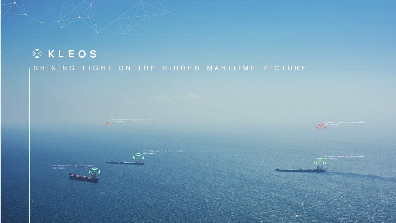
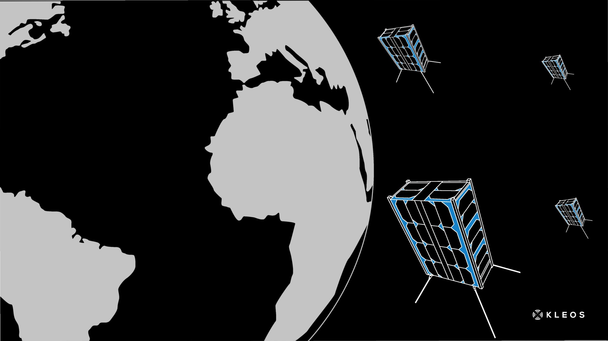
By mid 2019, Kleos Space will begin monitoring the Earth with its ‘Scouting Mission’. It satellites will deliver a global picture of hidden maritime activity to enhance intelligence capability even when traditional sources are compromised by weather, distance or sea-state.
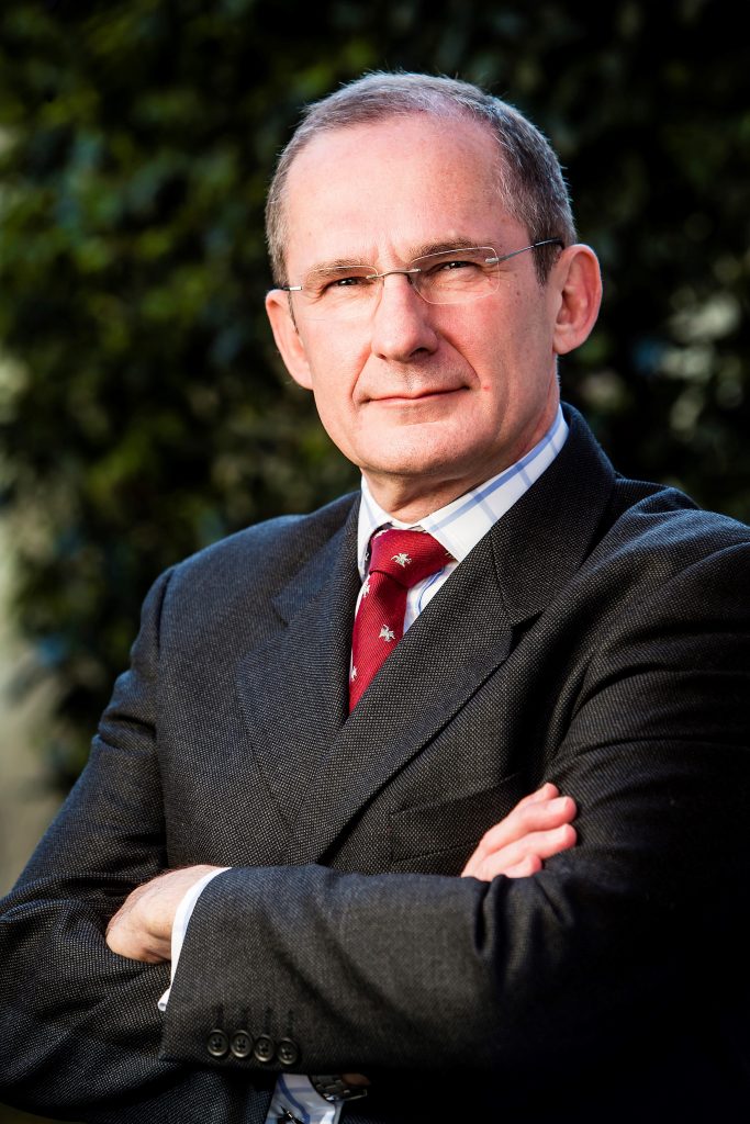
Earlier this year at DataSpace, we spoke to its Chairman and Executive Director, Peter Round about some of the upcoming developments in the company and what we can look forward to in the coming months.

First of all, why are you here at DataSpace?
The clue is in the title really in the sense that even though we’re a space company, we’re a space-enabled company. Our product is data from space – data on radio transmissions. We launch our satellites on very soon. Within a month or so after that we’ll be launching our data on maritime VHF, which will be available. This conference is exactly what we do – delivering data enabled and from space where the space element is our company’s business but data is the product.
You’re based in Luxembourg. There’s a lot of interest there around space. So how did you get founded there?
There were two key individuals in that process called Miles Ashcroft and Andy Bowyer who founded a company in the UK called Magna Parva. Magna Parva works as a supplier to the European Space Agency (ESA), focused on the delivery of what’s now known as ‘old space’ or ‘traditional space’ such as hardware, equipment and components for space missions. But they also had continued research and development ideas, and different ideas. One of those was about in-space manufacturing and how the ability to take a small thing into space and make it bigger that can be used.
The idea was to create a boom in space, as long as a 1km, from a small satellite. What can you use that for? You can build big aerials and antennae on the end of the boom and build from a small launch platform a large antenna array. A large antenna array opens up the opportunity to do geo-location of radio signals from space, which uses techniques – physics – that is not particularly new. It’s been used on Earth for decades but in space it’s new. So we moved forward from that and there was a clear need to separate that from the business at Magna Parva. So effectively Kleos Space was formed. There had been support from the UK government, DSTL (Defence Science and Technology Laboratory) but as the idea matured the support dried up because the idea was moving beyond research into reality. The two co-founders didn’t want to sell the technology or take the technology elsewhere, they wanted to continue it. So they decided to look for new locations and who would support further development, so that brought up Luxembourg.
Luxembourg is a small but wealthy and successful country that has a trade surplus unlike most countries but it has its industries in the service industry. It wants to create a lot of high-tech jobs in the country. It has a long industrial past. A lot of the initial wealth was in iron and steel and from that came satellite technology, forming one of the biggest satellite operators in the world (SES), who launch mainly TV satellites. They took great risk in the early days of that but it became very successful. Space in the form of satellites and ground stations exist in Luxembourg and it is in their DNA to do it. So they have an initiative called ‘new space’. In particular, their Deputy Prime Minister and Minister of Economy, Étienne Schneider, who was the Minister of Defence, has worked very hard to attract new space in the country. And Kleos Space is new space; it’s about low earth orbit, small satellites and all of those things. So Kleos Space went to Luxembourg to take advantage of the investment opportunities there and the environment Luxembourg was looking to help us with. Once established in Luxembourg our in-space manufacturing, research and development work, continued but the geo-location idea overtook the R&D of in-space manufacturing. Using a different technique, a cluster of satellites we moved ahead towards our first launch. We had to raise the money. We got R&D money nationally but we had to raise money for the launch to buy the satellites and build them. So the next stage of our development was to go public. We did an initial seed round and an Initial Public Offering (IOP), which happened last August in Australia and raised the money to pay for the launch and satellites, run the company and through the launch for sometime afterwards.
What are the markets for your data?
Our first satellite will have AIS shipping positioning system and a VHF receiver in the maritime band. We will be able to geo-locate anywhere on the surface of the planet, a transmission from a maritime VHF signal. Because there will be an Automatic Identification System (AIS) on board we will also be able to compare where that signal comes from and where the ship is declaring it is. We will also be able to see where ships either don’t have AIS fitted or have switched it off. We will also be able to see the differences in position because the ship deliberately switches it off or because the system AIS is being modified, spoofed or jammed. Basically we have the ability to see maritime traffic where it otherwise doesn’t wish to be seen.
What’s the market for that?
First of all defence and security: The world of defence wants the best intelligence picture of everything. The only way to do that is having different layers and different methods. You can have people looking through binoculars or taking photographs fly aeroplanes. You need different methods of building up that picture. And also a lot of techniques for finding ships are very expensive e.g. flying aeroplanes for over 10 hours over the ocean costs millions of dollars. If you have another technique that can say that bit of ocean is probably empty and that bit of ocean is not empty, you assist maritime patrol aircraft and can save money, do less hours or reduce risk to crews. So we have a defence market, definitely. We can build another layer to build a picture of where there might be a multinational operation going on in combating piracy in Somalia, where sharing a maritime picture from a commercially sourced image might be more comfortable politically. So that’s defence.
The second is security, which is sort of defence but you are not just looking for pirates but you have all the smuggling activity such as people smuggling, rubber boats with hundreds of people. They are using VHF to talk to each other on radio. We can see where they are, whereas locating a rubber boat from the air is really hard to find. It is low in the water and could be anywhere. Where ships are coming out of ports and transferring cargo in darkness, bunkering of oil, which happens when ships switch off their automatic systems. We also have the regulatory area, which is government again but regulation. But here I mean pollution and illegal fishing. Fishing fleets can fish in certain areas but not in others. How do we know where they are fishing? Well, their position indicators can tell us when they are switched on or do they? They don’t always accurately tell us even if they are switched on. So there is a regulatory market.
The third market is the commercial market. It is the insurance companies of ship owners who might want to know where the ships are because insurance companies limit where a ship goes because there might be a risk. But it might save money and fuel to go through a piracy area or an ice area that it isn’t cleared to go through. There’s a whole range of markets.
You also have bases in Australia and the UK?
Australia is a massive sea area with a huge refugee issue. It is so difficult to follow that sort of sea space. It is investing a huge amount of money in its border force at the moment, improving protection around its coastline for all the reasons I’ve talked about with fishing, people. That’s why we’re in Australia.
The UK is a massive intelligence base with a very serious military capability, which always want more and more intelligence. There’s a defence market there. Where’s the home of shipping insurance? Lloyds of London. These sorts of markets are in the UK. Luxembourg is our home because they support us; we’re part of their community and they are a part of ours. So we’ve got global coverage. And of course, we are looking at the other great market that is the United States because there is another market for data.

What are the main challenges you’re facing?
I think the biggest challenge, and we heard this today at the conference, the issue is getting the customer base to understand what space can do for them and to trust it; to realise there is a whole new way of getting information and data. That is persuading the customers this is worthwhile and effective.
The other challenge is handling the sheer volume of data we are creating and how we manage that, to keep on top of it. We hear some figures, for instance from the Copernicus Programme, of so many Terabytes per day and it is mind-blowing.. We’re going to be producing masses of data and key is managing, manipulating and translating that data into a useable product. In terms of the space side of it, that’s a good story.
It is also a challenge to get to space, obviously. It’s a challenge funding it but those who fund it are getting more familiar with space and the costs are being reduced. But it’s still linking that together to get customers to realise it’s worthwhile and investors to see the customers want the product. The circle of activities there is the challenge.
We need to be at conferences to be seen and address those challenges. We have a new idea and it works and we are delivering it; so the more people that know about it, the more familiar it becomes. We are all familiar with a newsfeed on the internet. If I told my grandfather he’d be able to have immediate news on live TV or in a device in his hands, he’d have laughed at me. It’s not that long ago. ‘What do you mean you can geo-locate a radio signal from space? How do you do that?’ Well, we can.
Do you find that as you’ve worked through the funding rounds, it is really about trying to shape the language to fit?
In fact, I’ve found I have had to divide people I speak to in two. To some space is sexy, it is exciting, the new frontier and I have got to get into it. To others space is “gasp, I can’t afford that”, “it’s too complicated”, “it’s too risky” and “it’s too expensive”. So depending on who I am talking to, I have to shape that discussion.
So if I am talking to an NGO that can use space data, then I have to make sure I am selling data and all they have to buy off me is the data about the area they want over the period they want. If I start talking to them about space they say they can’t afford it. But actually, they can.
If I started talking to a sharp-suited stockbroker, it’s all about space and it’s sexy. That sort of judging your audience is really important because there’s still an education process to be done. Almost everybody in a civilised country is using GPS. Mentally they think their phone is telling them where they are. If you say, “actually, there’s a constellation of 20-30 satellites delivering highly accurate time and navigation data to your phone using…” they don’t really care. They have an X on a screen that tells them where they are and a route that tells them how to get to the next place. They don’t worry about the fact it comes from space. ‘I’m not asking you to fund a satellite, I am asking you to pay a couple of pennies per month.’ It’s taking that scary aspect of space away.


